Expert Surveying Services
Providing comprehensive surveying and town planning solutions for your development projects and land use needs.
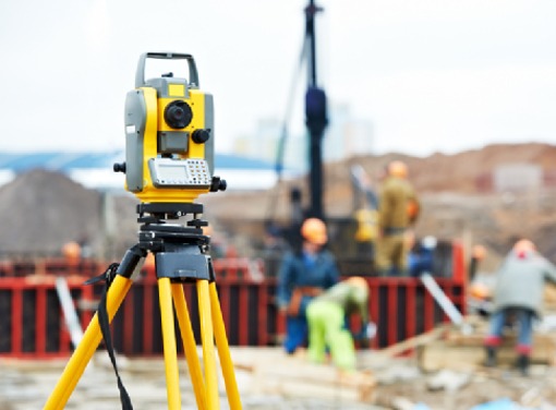
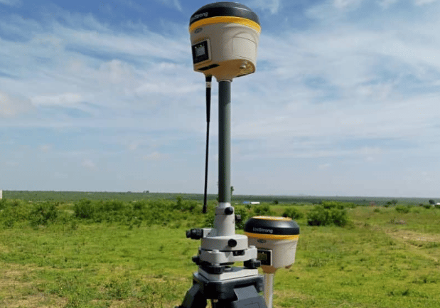
By integrating Total Station, GPS RTK, and Drone Surveying, we ensure comprehensive and precise land data collection, enabling accurate decision-making in civil engineering projects.
Total Station Surveying
Land boundary and topographic surveys
Construction site layout and alignment
Monitoring structural movements
Road and bridge construction


GPS (RTK) Surveying
High-precision land mapping
Road and highway design
Utility and pipeline surveying
Agricultural land planning
Aerial mapping and 3D modeling
Large-scale land development planning
Volumetric analysis for mining and excavation
Environmental and disaster monitoring
Drone Surveying


Surveying Projects
Explore our gallery showcasing professional surveying and town planning services.


